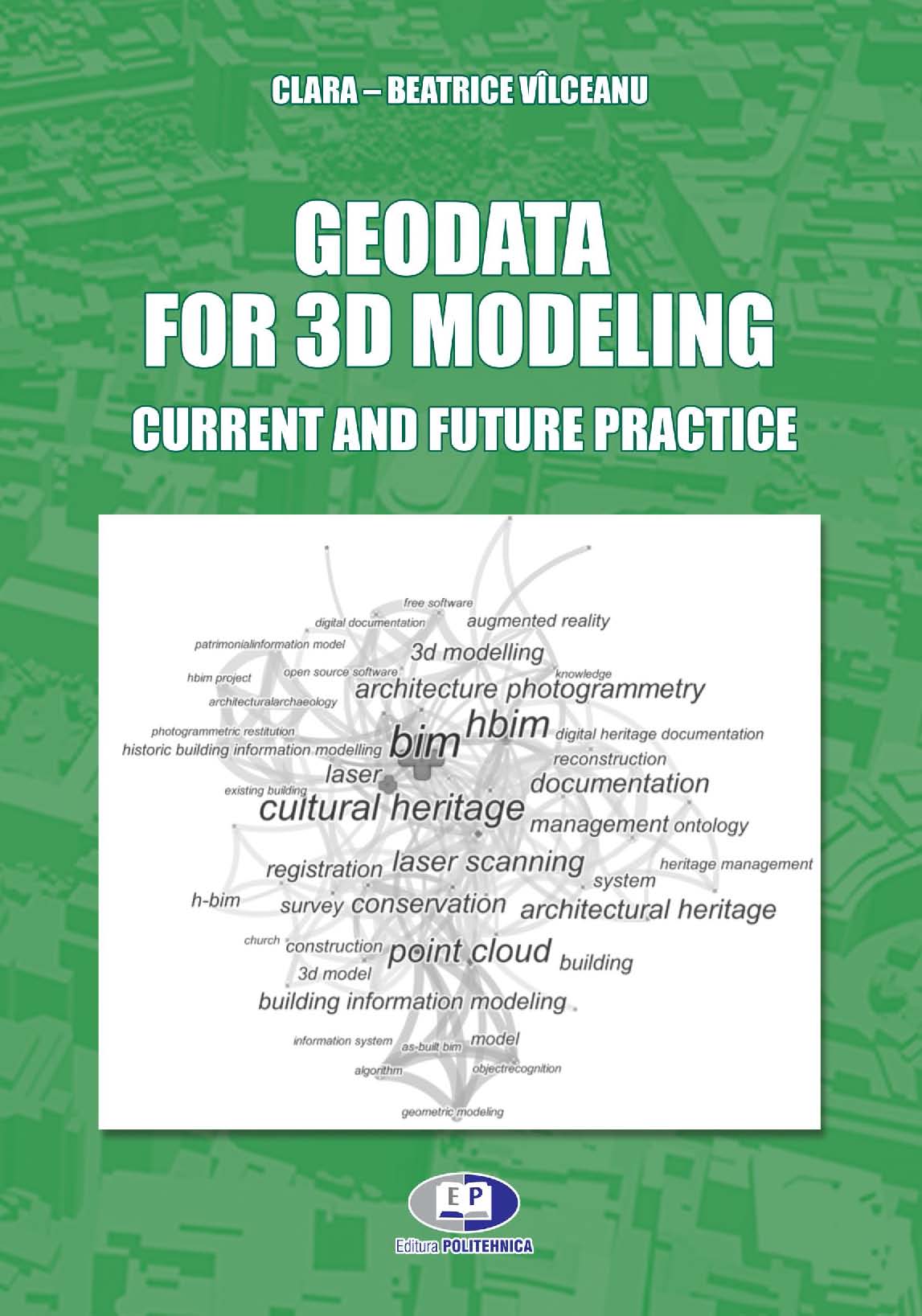
Geodata for 3D modeling. Current and future practice
Detalii
Description
This book present a consistent assessment of the current techniques available for recording of heritage sites and anthropic and natural components. Techniques include: digital measurement, photogrammetric techniques for generation of panoramas, 3D models and interactive tours, generation of 2D and 3D models, Laser scanning technology, LiDAR and reverse technology. The book will review the available hardware and software, the different workflows, processes, software, types of tools available for those interested in recording digital heritage.
CONTENT
FOREWORD
CUVÂNT ÎNAINTE
CHAPTER 1. MONITORING, MODELING AND ANALYSIS OF HAZARDS PROCESSES USING MODERN GEODETIC TECHNOLOGIES
- Hazards and the socio-economical impact over the human activity
- Geodetic methods used for landslides monitoring
- Directions towards landslides monitoring using modern geodetic methods aiming to increase the operational safety
- Geodetic Engineering
- Photogrammetry
- Remote sensing
- Satellite-based Positioning (GNSS)
- Land management and land use planning
- Laser scanning technology
- GIS and Geoinformatics
- Discussions
CHAPTER 2. GEODATA FOR 3D MODELING AND H-BIM DEVELOPMENT OF CULTURAL HERITAGE OBJECTS – CURRENT AND FUTURE PRACTICE
- Lidar applications in the Geodetic Engineering domain
- General considerations
- 3D modeling for Cultural Heritage
- Using LiDAR for Urban Green Space Monitoring
- Reverse Engineering
- Heritage studies in Spatial Planning; Development and Environmental Policies
- Creating 3D point cloud / mesh models for H-BIM type digital platforms
- E-learning in higher education system – particular case of Geodetic Engineering domain
- Opportunities and challenges in higher education system: knowledge transfer by e-Learning vs. traditional methods
- Cultural Heritage modeling potential highlighted by e-Learning resources
REFERENCES


